Top Application Mobile topographer GPS
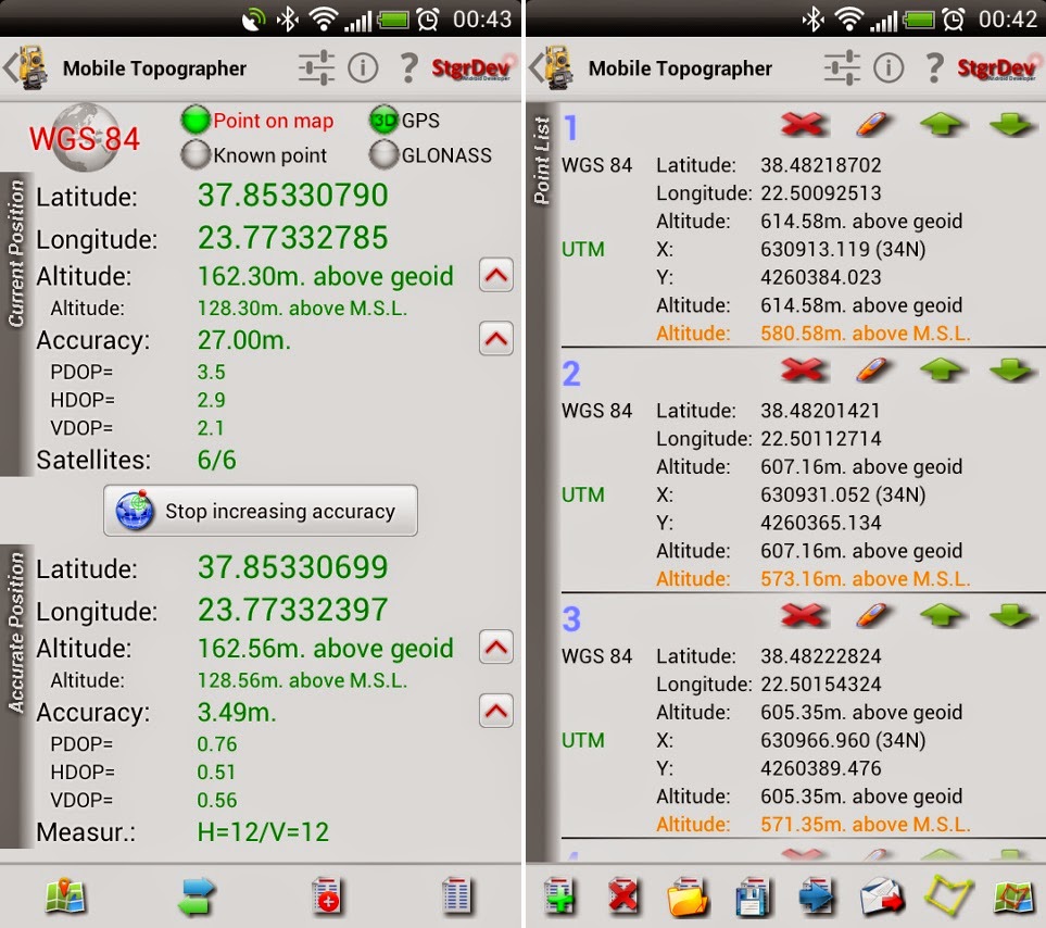
Mobile Surveyor is a useful widget that will help you improve GPS accuracy using a weighted average and a calibration map.
In addition, the application supports different country coordinate systems, and is capable of displaying and converting geodesic Cartesian GPS coordinates FR or vice versa. All the features describe program is quite difficult, but if you use GPS, mobile topograph necessarily useful for you.
Your mobile topograph allows for multiple uses
** Convert geodesic Cartesian coordinates and save:
- Supports device points measured, or
- Manual entry of geodesic or Cartesian coords.
** display and convert geodesic GPS Cartesian IN coordinates
** Drive me:
- Enter the coordinates of the point in Cartesian coordinates or target geodesics, or select a point in the list and follow the pointer.
- Compass indicating both magnetic and North.
** Project on the map:
- Project individual points on any card request.
- List of points projects, and the defined polygon, on embedded Google maps.
** save several lists of points, to use them later.
** export lists of points το:
-. Txt (text file)
-. Csv (point file - separated by commas)
-. Kml (google earth file)
-. Dxf (drawing file)
mobile_topographer mobile_topographer (Requires Android: 2.3.3 +)


![House Exterior 3D Model [DWG, 3DS, DAE, FPX, MAX, OBJ]](https://blogger.googleusercontent.com/img/b/R29vZ2xl/AVvXsEhM2kAZTWPn7LAgMcBfQTa9lu2pTsEQt6lSgYBlfk_i-S9KRrBevA8KueOqUC49uaTYBmfjfdn61l6C6eV2rIvP9YYuic1hC0X7Ngk3IpOpl1HKI2Od4O7ykB-5aXJt-QP95a-F9ujPhLrpXYB8oERLX7x313i2lmP0HOin3FhKGOPNc6rQWCQH2mX6Hg/s72-w519-c-h292/house-exterior-3d-model-low-poly-max--obj-mtl-3ds-fbx-dae%20(1).jpg)

%20(1).png)
